

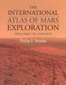
Mars is never out of the headlines these days – at least for those with a keen interest in space exploration. This two-volume set is a recognition of the continuing interest in the Red Planet, the first volume bearing the subtitle “The First Five Decades” and the second “From Spirit to Curiosity”. Although volume 1, which covers 1953 to 2003, was first published in 2012, it is now being remarketed with its sister volume, which extends coverage from 2004 to 2014. Clearly, at £170, it’s a very expensive set, but a total of some 800, approximately A4-size pages helps to explain this; the set weighs in at about 4.3 kg.
The first volume is divided into three parts, with sections on Phobos and Deimos and Mars mission data, but the great majority of the book comprises a “chronological sequence of missions and events”. Although this is a history of Mars exploration, the most important differentiating factor (its USP if you like) is its presentation “in atlas format”. As the author states in his preface, it is “primarily a book of maps, a book about places”. As a result, in leafing through the book, one fails to see the typical spacecraft hardware pictures and diagrams expected in a history book. But it’s not about the technology, geology, people and politics involved; instead it details the areas imaged by flyby and orbital missions, describes why the landing sites were chosen and explains the activities that took place at each site.
So for Mars aficionados who have read the standard texts, this represents a different and probably unique way of looking at the history of Mars exploration. In general, the technique is to describe briefly what each mission did and to illustrate it with annotated maps and surface photographs. Rocks and trenches are labelled with phrases such as “Deep Hole 1”, “Physical properties 5” and “Grumpy Rock moved” to bring the photos to life in terms of the scientific investigations performed.
The larger volume 2, which includes a short volume 1 update section, follows much the same philosophy, though it covers the age of the rovers and thus includes detailed maps of their excursions. The author is a cartographer and ‘imaging expert’ and the two-volume set is a tour de force of Mars mapping, but the high price is likely to limit its sales to libraries and institutions. Apart from the dust covers, there is no colour in the books and, although they are being marketed as a set, the paper type and quality is different (volume 1 being matt and volume 2 glossy). That said, it seems highly unlikely that another author and publisher will produce anything like this in the foreseeable future.