


CubeSats are getting clever. These shoe-boxed sized craft are beginning to transform how the space industry conduct research and soon ESA plans to launch one equipped with artificial intelligence (AI) to take Earth observation to the next level.
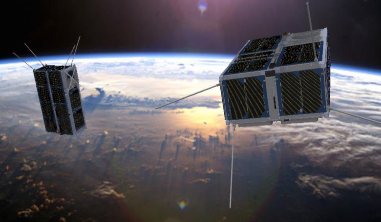
Dubbed ɸ-Sat, or PhiSat, this revolutionary AI technology will fly on one of the two CubeSats that make up the FSSCat mission – an innovative mission concept consisting of two 6U Cubesats in support of the Copernicus Land and Marine Environment service.
The two CubeSats, each about the size of a loaf of bread, will collect data using state-of-the-art dual microwave and hyperspectral optical instruments, meaning the instrument can collect and process information from across the electromagnetic spectrum.
When satellites collect observational data, the images generally fall into two categories; multispectral or hyperspectral imagery. The main difference between the two is the number of (wavelength or frequency) bands within the electromagnetic spectrum that is observed and how narrow the bands are.
Multispectral imagery collects data across 3 to 10 wavelength bands. Landsat-8, a satellite collaboration between NASA and the United States Geological Survey (USGS), which cost around US $855 million dollars and weighs around 2,623 kilograms (5,783 lb), produces 11 images across 11 different wavelength bands for example.
NASA’s Airborne Visible/Infrared Imaging Spectrometer (AVIRIS) on the other hand is an example of a hyperspectral sensor and it collects data in 224 contiguous bands.
While this makes for a much more detailed image allowing the viewer a better capability to see the unseen, it also means the file sizes are huge, which is not so great when you want to download the data from wherever it was collected from - in this case space.
To help alleviate this problem, engineers at cosine Remote Sensing, the company that led the development of the artificial intelligence algorithm, have supplied PhiSat with the ability to decide for itself which images are worth sending back to Earth for further analysis.
“With ɸ-Sat we have effectively given the instrument its own brain, which processes the data onboard to detect clouds in the images. This not only ensures better quality data, but makes the delivery much more efficient,” says Marco Esposito, from cosine Remote Sensing.
ESA’s Massimiliano Pastena, noted, “Indeed, this will be the first satellite to demonstrate the use of artificial intelligence in orbit and we are very much looking forward to it being launched in the coming months.”
In addition to its remote sensing objectives, the FSSCat mission will demonstrate for the first time worldwide a reliable optical intersatellite link (O-ISL) between the two CubeSats flying in Low Earth Orbit (LEO).
They are also the precursor mission to will what eventually become a constellation of federated small satellites for Earth observation achieving high temporal resolution to measure, amongst other things, soil moisture, ice extent and thickness, as well as the detection of melting ponds over ice.
“We live in exciting times, the pace at which digital technology is developing coupled with the wealth of satellite information being delivered and, indeed, the growing demand for such data, means there are many opportunities to make a step change for the future of Earth observation,” said ESA’s Director of Earth Observation Programmes, Josef Aschbacher.
“And, with ɸ-Sat – Europe’s first artificial intelligence in space – we are going to do just this.”