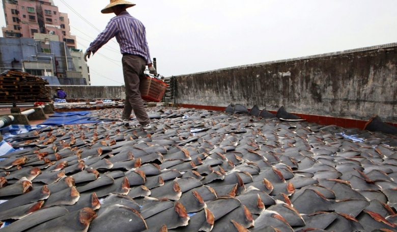
The prosecution in the summer of 2017 of the Chinese fishing vessel Fu Yuan Yu Leng 999 which was caught carrying more than 6,000 dead sharks and other endangered species was widely publicised and the quick actions of the Ecuadorian Navy and other authorities to apprehend the vessel highly commended. But apprehending a ship suspected of carrying illegally caught fish is only the starting point in making a case. And, of course, satellites now play a key role in policing the oceans and supporting legal actions.
After the capture of the Fu Yuan Yu Leng 999, the UK-based OceanMind - a not-for-profit organisation working to increase the sustainability of fishing globally - investigated the vessel further and reviewed its movement in and around the Galapagos Islands to understand its activities and establish whether the information would provide additional evidence for prosecution.
Part of the company’s work is to help governments and NGOs understand what is happening in their waters and oceanic areas of interest. As the Galapagos is a particular area of interest and analysts have significant field-based experience working across the islands, OceanMind was interested to see how it could help.
Over the last few years, the number of Marine Protected Areas has significantly increased, with some estimating that up to 6.35 percent of the world’s ocean is protected [www.protectedplanet.net/marine]. By the year 2020, the parties to the Convention on Biological Diversity have agreed to increase this to 10 percent but this will require robust, effective monitoring and surveillance to ensure adequate enforcement.


