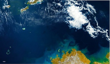
 March 2015
Shipping, the environment and satellite AIS
... activity to protect the world’s waters and marine life from ship disasters and illicit activity. Satellite AIS (S-AIS) has become a very powerful tool in the delivery of critical ship intelligence to a variety of maritime and geospatial users...
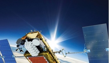 November 2017
Geospatial maritime solutions
...Harris uses big data analytics to provide valuable actionable information and intelligence to alert maritime authorities. By fusing AIS and geospatial products from commercial providers, we are able to add value for many. Food insecurity, commodities...
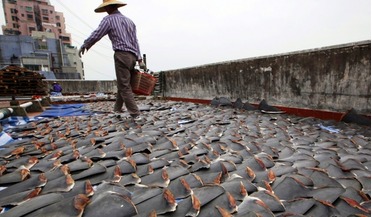 May 2018
Satellite data helps combat illegal shark fishing
... illegal, unreported and unregulated fishing activity. The AIS data in the Galapagos case was translated within the...chance for the life of migratory marine species,” he added. AIS tracks of Fu Yuan Yu 999. Incorporating numerous satellite technologies...
 November 2017
Advancing maritime intelligence with real-time satellite AIS
... and, in an ever-changing environment where there is a vital need for the persistent monitoring of human activity, Satellite AIS (S-AIS) has become a very powerful tool in the delivery of MDA to a variety of maritime and geo-intelligence users. The...
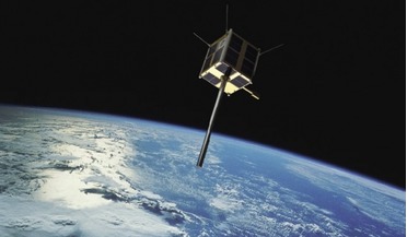 April 2021
Norway’s pioneering use of microsatellites
...enhancements, not only overall revisit frequency but also in the quality and reliability of data, thanks to an upgraded AIS receiver. Both satellites are based on the Generic Nanosatellite Bus (GNB). They have dimensions of 20 x 20 x 20 cm and a mass...
 April 2024
Building the future of space manufacturing
... Committee is developing three foundations under the following organisations. First, the Asgardia Institute of Standards (AIS) defines and maintains standards that ensure compatibility and interoperability across different systems and components...