 October 2018
Using space-based data for humanitarian causes
... are visible, unless there is a specific infrastructure, the borders that serve to contain them are imperceptible. Whilst satellite imagery can be used to relieve suffering in war-torn areas of the world many in the legal profession are concerned...
 May 2018
Delivering farming solutions with satellite-powered data analytics
... in using data analytics for providing insights across the agriculture value chain is the precision of data. While satellite imagery acts as the foundation of much of the data required, farm level crop analytics provides much better results...
 November 2018
Monitoring illegal rainforest deforestation
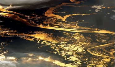
... forests. Present tools and methods make use of satellite imagery to monitor devastation that occurred in the past, usually...design changes on the optical system. A constellation of 16 satellites will assure a revisit time shorter than four days to ...
 November 2018
Purpose, promise and power – video from space
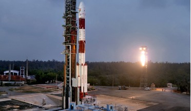
... are rising and there is a burgeoning market for reliable fast turnaround and frequent revisit imagery. Until now, VHR satellite video imagery has only been available in black and white but at the 34th Space Symposium this...
 25 April 2023
Cloud-based platform to be used for satellite imagery analysis
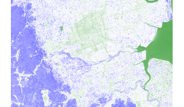
... see SkyFi adding hyperspectral image data and Metaspectral Fusion's analytics tools to its satellite imagery platform. "Hyperspectral image analysis of satellite data has a wide range of potential uses including environmental monitoring of ice, snow...
 January 2019
Smallsat revolution and AI kick-start nascent EO big data market
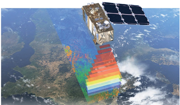
... coverage with different sensors such as higher resolution streaming video. Airbus sees HAPS as complementary to satellites. ICEYE-X1 SAR satellite imagery and illustrated oil storage fill-rate analysis will be used by Ursa Space to monitor oil wells...