 October 2018
Using space-based data for humanitarian causes
... capabilities, such as the now defunct Sentinel Satellite Project, but these have fallen short in ensuring that remote sensing data plays an important role in mitigating humanitarian crises. There are developments that may contribute to the use...
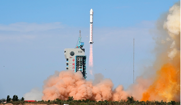 February 2023
Remote sensing by satellite - People’s Republic of China
... surveillance capabilities. From 2015 on, commercial satellite Earth observation plays an important role too. Since remote sensing (data) from satellites is dual-use, there is no clear distinction between civil and military satellite surveillance...
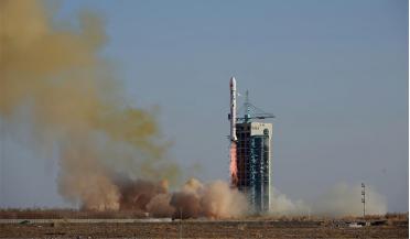 October 2023
Remote sensing by satellite - People’s Republic of China
... and, for the sake of clarity, a clear distinction is maintained between civil and military satellite surveillance, although remote sensing data from satellites is often dual-use and so in reality the distinction is never fully clear. MILITARY...
 January 2021
Evolution of volatiles on the Moon
... slows its rotation rate, all of which we believe are important for the development of complex life. From remote sensing data - which are in turn grounded in studies of Apollo-era lunar samples - it has been determined that the Moon...
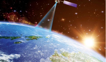 April 2024
The promise of space-based LiDAR
... network planning, optimisation and maintenance for improved connectivity. LiDAR arguably offers the highest value of all remotely sensed data sets and the potential benefits of space-based LiDAR mapping are extensive. Not only does it offer...
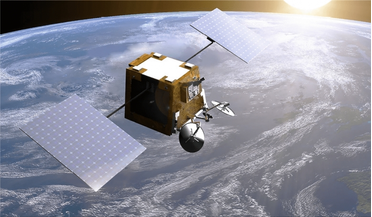 December 2021
The rise of the UK space economy
... for space and space-enabled industry SPL is opening in two phases. The first phase, focusing on downstream remote sensing data applications, opened on 1 July 2020 and several space and space-enabled businesses moved in during the weeks...