 November 2021
Space in support of sustainable development
November 2021
Space in support of sustainable development
... cross-sector discussion. Lastly, awareness raising initiatives about the role of space science on climate change monitoring, satellite imagery and data could inform stakeholders and the general public to undertake actions and policy reforms at the...
 August 2016
High-resolution Earth observation data is changing the character of war
August 2016
High-resolution Earth observation data is changing the character of war
...have them in operation in the next couple of years. Furthermore, many Middle East countries purchase high-resolution satellite imagery from American, French, and Russian companies for everything from military operations through to urban planning. Now...
 October 2024
EO data - the fuel that makes climate action possible
October 2024
EO data - the fuel that makes climate action possible
... emissions over vast regions and, importantly, over time. By applying advanced algorithms to images from a wide range of satellite imagery for any given area of interest, the precise location of super emitters, flares, and leaks can be identified...
 October 2020
Essential role of satellites in disaster and pandemic management
October 2020
Essential role of satellites in disaster and pandemic management
... site of Wuhan’s Huoshenshan Hospital in April 2017 and February 2020. The hospital was built in just 10 days. Satellite imagery can show the scope of a crisis such as that caused by Covid-19 and can promote transparency and accountability...
 November 2017
Japanese space industrial policy in transition
November 2017
Japanese space industrial policy in transition
... to receive a license, and the Remote Sensing Law, which establishes the parameters for private companies to sell satellite imagery, were established in 2016 to encourage the private sector to invest in space and compete against these emerging space...
 12 November 2025
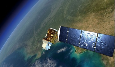
CATALYST launches INSIGHTS Horizon for defence and govt agencies
12 November 2025
CATALYST launches INSIGHTS Horizon for defence and govt agencies
... integrated into leading commercial maritime solutions, powering the preprocessing and analysis data from diverse satellite imagery sources. "The current geopolitical landscape has created an urgent need for sovereign intelligence capabilities," said...