 March 2022
What space taught me about water
... mobile phone application, based on the water quality monitoring and communication system developed for the ISS, to ..., and the people who work there are able to self-monitor their energy usage as the building suggests ways to conserve responsively...
 December 2014
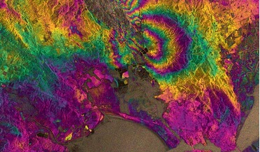
Motion capture
... up, much in the same way as a mattress would bulge if you pumped up a balloon underneath it. We are now beginning to systematically monitor all active volcanoes for signs of magma movement. The goal is to use this information to alert local decision...
 June 2015
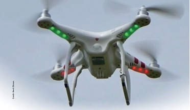
Drone regulation in the European Union amid a thriving market
...drones are in use counting sea lions in Alaska, monitoring drug trafficking across borders and conducting weather and environmental ...island to deliver medications. The flights are constantly monitored so that manual action can be taken immediately and...
 October 2015
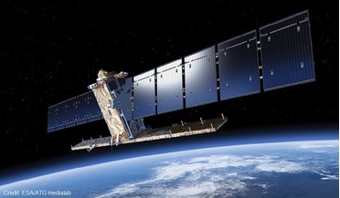
Copernicus, ESA’s most ambitious Earth Observation programme
.... Credit: ESA/A.Van Der Geest Florescence Explorer (FLEX1)—a proposed three-year mission—that will globally monitor the steady-state chlorophyll fluorescence in terrestrial vegetation; and CarbonSat2—a proposed 3 to 5 year mission—that will measure...
 October 2016
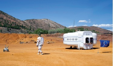
Project MOONWALK
...the astronaut can control the rover, and the rover can monitor the movements and pose of the astronaut, without the need...the MOONWALK approach could even be used by athletes or to monitor the health of elderly people. EVA Information System (EVAIS) ...
 January 2023
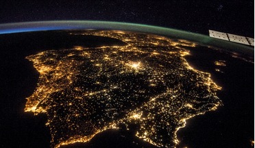
Portugal’s sustainable space strategy
...of this policy being the Atlantic Satellite Constellation and monitoring space debris. Is Portugal looking to specialise in terms... way because the sheer scale makes it impossible to monitor such an extensive marine environment with boats or aircraft....