 December 2014
Skolkovo and a new breed of Russian space startups
December 2014
Skolkovo and a new breed of Russian space startups
.... Future projects include a high-resolution ERS, produced in cooperation with one of the largest players in the Russian geo-information services market. It is no accident that Kokorich chose Skolkovo as the location for Dauria’s major subdivisions...
 March 2015
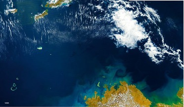
Shipping, the environment and satellite AIS
March 2015
Shipping, the environment and satellite AIS
... Areas and ships unlawfully dumping oil into the water. Officials can analyse maritime traffic patterns in geo-fenced areas and develop effective refinements and routing changes to ensure vessels avoid the protected zones...
 March 2015
Chasing comets together: the Vega project in the USSR and beyond
March 2015
Chasing comets together: the Vega project in the USSR and beyond
... a captured asteroid. The project was first suggested by the Institute of Applied Mathematics (IAM) and the Institute of Geo- and Analytical Chemistry (IGAC). But during its development it moved under Institute of Space Exploration (ISE) management...
 June 2015
Drone regulation in the European Union amid a thriving market
June 2015
Drone regulation in the European Union amid a thriving market
... Institute of Technology is considering a project to use RPAS in Africa to deliver goods using pre-determined routes that would be geo-fenced. The French Postal Services have successfully flown a 6-rotor drone over a distance of 1200m carrying a 2kg...
 June 2015
Watching over alpine explorers
June 2015
Watching over alpine explorers
... between mission control and search and rescue team. Highly detailed map data (topographical maps and geo-referenced orthographic photos) are necessary for mission control as well as for the mountain rescuers. Sarontar is designed...
 October 2015
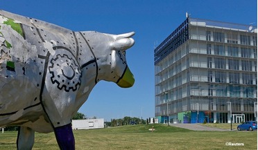
Growing space businesses in the UK: from incubation centres to public funding
October 2015
Growing space businesses in the UK: from incubation centres to public funding
... contribution to the European Space Agency’s budget coming from the UK, more is coming back to the UK in terms of absolute geo-return (the process by which ESA ‘returns’ the money to the UK in the form of industrial contracts). Indeed, at times...