 March 2021
iPhone moment for the Earth observation industry
..., planes, roads, ships, containers and so on). This is aimed at non-geospatial, yet technical users who actively integrate satellite data and derived analytics on-the-fly to build specific products for internal use within companies across different...
 20 September 2021
New partnership to deliver high-value EO agriculture data
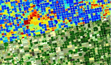
...Satellite data providers ConstellR and ScanWorld are set to combine their respective thermal infrared and hyperspectral imagery expertise to deliver high-value Earth observation (EO) data...two essential earth observation data sources therefore helps ...
 April 2018
Climate monitoring and the need for open access to global environmental satellite data
... issues - it is a puzzle that in many cases the space and meteorological agencies around the world that collect satellite data essential to address these issues do not share it freely. The first mystery is why some government agencies choose...
 May 2018
Satellite data helps combat illegal shark fishing
...and do switch off their transponders if they want to ‘disappear’ OceanMind brought together a wide variety of data sources, including satellite data, to understand the location, time and behaviour of specific vessels at sea. This advanced system uses...
 01 September 2016
New software uses satellite data to monitor wildlife habitats by airports
... to meet the same safety standards as large airports. Free data from the latest Copernicus Sentinel satellites make this an affordable solution for airports.” Using satellite data to detect water Two smaller airports are already on board to use...
 26 March 2019
UK Space Agency offers free satellite data of Britain
... Vega UK Ltd in October 2018, commercial archives of images and radar data have now been downloaded to a satellite data storage system (known as CEMS) run out of the Satellite Applications Catapult at the Harwell Campus in Oxfordshire. The archive...