 September 2017
India’s dynamic ecosystem for space entrepreneurship
September 2017
India’s dynamic ecosystem for space entrepreneurship
... ventures that want to go beyond traditional Geospatial Information Systems (GIS) but using satellite data with ground based sensors in creating data stacks that can add specific industry and decision intelligence to an array of industries...
 October 2018
Using space-based data for humanitarian causes
October 2018
Using space-based data for humanitarian causes
... raise questions of how to prove that states were not complying with the responsibility to protect, and satellite data could be an important source of evidence for these operations. Unfortunately, R2P is still a controversial concept and whether...
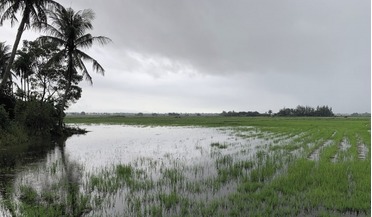
 January 2020
Discipline - a formula for success in the Earth observation market EO sector
January 2020
Discipline - a formula for success in the Earth observation market EO sector
...them for years to come. The Irrawaddy River in Myanmar captured by the Copernicus Sentinel-2A satellite in March 2017 after the harvesting season. Satellite data was used in climate-proofing water supply and wastewater facilities in Mandalay, Myanmar...
 April 2021
Predicting dengue fever outbreaks from space
April 2021
Predicting dengue fever outbreaks from space
...this new method has just been accepted for publication at a high impact scientific journal. Post-processing satellite EO data products - the D-MOSS team devised and implemented new post-processing techniques to overcome variations in coverage between...
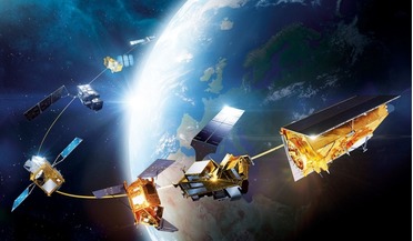
 November 2021
Space in support of sustainable development
November 2021
Space in support of sustainable development
... usage, as well as air and water pollution in built-up areas. All of this can be assessed with the use of satellite data and imagery. It is possible that with national and international policy initiatives to make working from home a normalised...
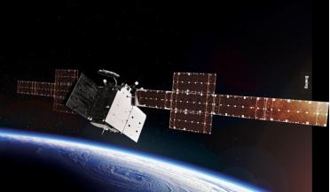 October 2025
Satellite technology - from operational challenges to strategic opportunities
October 2025
Satellite technology - from operational challenges to strategic opportunities
...-time and near real-time processing capabilities is transforming how satellite data is utilised. Computing platforms integrated into satellites can perform initial data processing and feature extraction in orbit, reducing downlink requirements and...